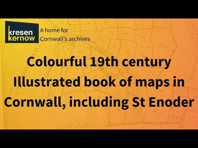
Illustrated book of maps, dated March 1860 - Kresen Kernow, Cornwall
Archivist David Thomas is back with another episode of David’s Dazzling Documents.
Here he is sharing with us a wonderfully illustrated book of maps, showing property belonging to Michael H Williams, Esquire. It was surveyed and mapped by W Smith, dated March 1860.
The title page mentions the Barton of Arrallas in the parish of St Enoder. Just some of the other places include: Resurrance, Quarry, Gunabarn, Mellingey, Trevillick, Trengeal, Bedock alias Bissick, Higher Penscawn, Higher Trelassick and Hendra.
These types of maps can be useful when researching the history of your house for example.
This volume was purchased in the early 1980’s with contributions by the Victoria & Albert Museum Purchase Fund and Friends of the National Libraries.
Subscribe to our YouTube channel: https://bit.ly/KK-YouTube-Subscribe
Follow us on social media: Facebook, Instagram and Twitter/X @KresenKernow
Visit our website to discover more from our archives: https://kresenkernow.org/
Тэги:
#maps_of_cornwall #historic_maps #kresen_kernow #manors_of_cornwall #cornwall_manors #old_maps #cornwall_archivesКомментарии:
Rating your teams kits Finland National Team
bristolcity85
HOW TO GET THE MOST MONEY WHEN SELLING A HOUSE PANAMA CITY
Best Panama City Realtors: Virga Realty 850-814-6999
Every Animal Crossing player NEEDS THIS!
Burdettedog


