To Tri kopce | Little Carpathians, SK - Towards the Nicely Frozen Ridge in Chilly Conditions
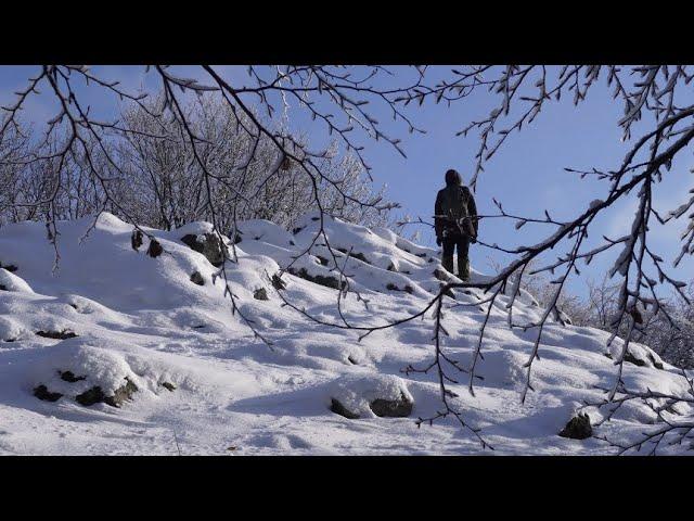
The lesser-known Čierna skala (604 m) - than its more popular namesake near Plavecký Mikuláš - is located a short distance from the Rybníček gamekeeper's house near Pezinok. It is a smaller rocky peak and provides fewer views as it is surrounded by trees. But sometimes a mountain peeks out behind them. This hike, to put it simply, led over a side ridge - that is, through the named Čierna skala and Kamenný vrch - to the main one near Tri kopce (662 m). This time we also went off the hiking trails, sometimes crossing the woods, as free movement of people is allowed here. We started to climb to Čierna skala from the Vidlárová valley, but you can also turn to here from the yellow sign later and continue along the forest road to the left, it will be shorter. From Čierna skala you can get relatively comfortably, but without markings, to Kamenný vrch (640m), from which views are visible among the trees, especially in the direction of Skalnatá. Then you can continue to Naháč and later by partially marked trails to Tri kopce, located at the main ridge near the Štefánikova magistrála. From here there are excellent views of the more central part of the Little Carpathians towards Pezinok, but the Borská lowland sometimes flashes along the way.
Our route was ~10 km long and led through sloping terrain, but it was certainly not difficult. On the ridge around Tri kopce, an icy wind blew again /which will probably be the case on ridges :-)/, thanks to which these parts of the Carpathians are beautifully frozen in winter and at this time of year snow mostly stays here, even when there is none in Bratislava.
Route: https://en.mapy.cz/s/pakunufone
Sedláčkov jarok - Rybníček - Čierna skala - Kamenný vrch - yellow marked trail - green marked trail - Tri kopce - Pod Skalnatou - Dolina Vidlárová - Sedláčkov jarok
12-3-2023
Тэги:
#Little_Carpathians #Malé_Karpaty #Tri_kopce #Čierna_skala #Čierna_skala_604m #Skalnatá #Červená_značka #Kamenný_vrch #Tri_kopce_662mКомментарии:

@davidkoci6616 - 14.12.2023 19:39
Skvělé...Díky Kamarádi 🍀👍🤠
Ответить
@knutfugl - 14.12.2023 20:16
Děkuji za sdílení vašich zkušeností.
Přeji vám oběma příjemný prosinec.
S pozdravem, Knut.

@ValkoBranislav - 14.12.2023 21:10
Ďalšie krásne a pre mňa inšpirujúce video. Vystihli ste krásnu, zimnú krajinu. Takú echt rozprávkovú. Pekné video. Pozdravujem, Braňo
Ответить
@petrikovamiroslava6835 - 15.12.2023 12:10
Krásná zimní krajina Malých Karpat. Pohádková atmosféra s krásnými detaily, pro to máte cit...záběry na vodu s rampouchy ( rampouch-cancúch, chvíli mi to trvalo, než jsem si vzpomněla na slovenský výraz ), šiška douglasky...a mnoho dalších krasných záběrů. Je vidět, jak si to užíváte a taky, že vás horší počasí jen tak neodradí. Paráda, aspoň se můžeme těšit na další videjka😊😊😊. Nás vyřadil covid téměř na tři týdny, tak jsme aspoň chodili s vámi. Děkujeme.
Ответить
To Tri kopce | Little Carpathians, SK - Towards the Nicely Frozen Ridge in Chilly Conditions
Studio HEART OF EUROPE
#Stolperfalle Treppe
SWICA Gesundheitsorganisation
TWNTY SVN - Ways (Official Music Video)
TWNTY SVN
lauren brodauf on the watching josh ovalle to hot girl pipeline
The Internet Is Dead
Когда утром умываетесь, скажите эти слова | Samir Ali 2
Магия Жизни SA
THE SILENT KILLER | Short Film | HD
freons for ever


