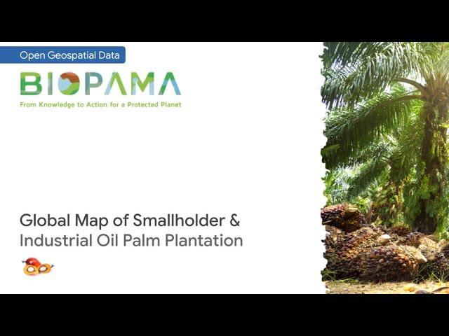
Open data: Global oil palm plantation map
Open spatial data of closed-canopy industrial and smallholder oil palm plantation with 10 m resolution and global coverage. Each class is differentiated based on road patterns in the plantation area, recognized from Sentinel-1 and Sentinel-2 images by a Deep Learning model.
Further information:
Descals et al. (2020) High-resolution global map of smallholder and industrial closed-canopy oil palm plantations (https://essd.copernicus.org/articles/13/1211/2021/essd-13-1211-2021-assets.html)
If you find this video helpful, kindly like the video, share to your colleagues, and subscribe to support the channel. Thanks!
Also see: https://youtu.be/ZfDqnEzXn-c
Тэги:
#GIS #Map #Cartography #Remote_Sensing #Satellite #Open-Source #SNAP #Sentinel #Copernicus #Mapping #Peta #Pemetaan #SIG #Geographic_Information_System #Sistem_Informasi_Geografis #Tata_Ruang #Penataan_Ruang #Spatial_Planning #Kartografi #Penginderaan_Jauh #Tutorial #Geospasial #Geodata #Spatial #Geospatial #UAV #Google_Earth #Coordinate #Koordinat #oil_palm #sawit #deep_learning #gratis #download #palm_oil #kebun #jangka_benah #gdal #gee #google_earth_engine #earth_engine #agroforestry #agroforestri_sawitКомментарии:
Project For Gaia - Shamanic Trance Drumming 60 Minutes
Project For Gaia - TRANCE DRUMS & MEDITATION Music
نفق الرضا | #بودكاست تنفس
Wasla Podcast - بودكاست وصلة
printf Basics | C Programming Tutorial
Portfolio Courses
AMTSJ Cabaret
Ric Iverson
Gleise vom Fließband - Großmaschine RUS 1000 S im Einsatz bei der WLB
Wiener Lokalbahnen


